Bikeways & Trails — Dallas

We plan and design safe, connected bike and trail networks that link neighborhoods, parks, job centers, and transit. Our team delivers corridor studies, alignment alternatives, and implementation packages that fit Dallas context—from urban sidepaths to regional shared-use trails.

Network connectivity Safety & comfort Cost-effective phasing Complete Streets integration

What We Do

  • Trail & on-street alignment studies — evaluate alternatives, constraints, easements, utilities, and sight distance.
  • Demand & connectivity analysis — link schools, parks, transit, and key corridors; fill network gaps.
  • Cross-sections & safety treatments — sidepaths, buffered lanes, protected intersections, crossings.
  • Cost, phasing & funding strategy — bond-readiness, grant support, and public–private partnership packaging.
  • Wayfinding & trailheads — access management, ADA compliance, amenities, and maintenance planning.

Why It Matters

  • Safer, all-ages access to parks, schools, and transit with separated facilities where needed.
  • Congestion relief & first/last-mile options that complement roadway capacity investments.
  • Economic & health benefits from connected trail loops and destination corridors.
  • Low-cost, high-visibility projects that can be phased quickly and expanded over time.
Dallas Network — Quick Facts
  • The LOOP Dallas — a ~50-mile connected urban trail circuit linking major corridors.
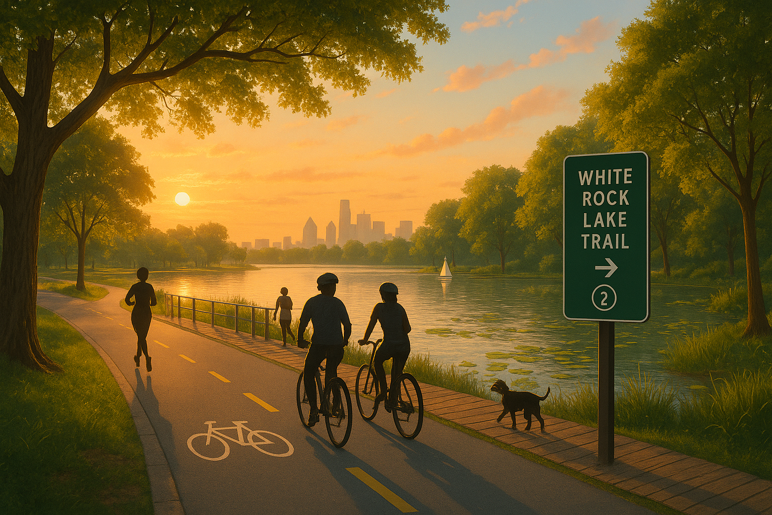
  • White Rock Lake Trail — lake loop of about 9.33 miles with park destinations.
  • Katy Trail — iconic urban rail-trail (~3.5 miles) from near downtown toward SMU/Mockingbird.
  • Santa Fe Trail — ~5.3 miles connecting Deep Ellum area toward White Rock Lake.
  • Northaven Trail — up to ~7.8 miles across North Dallas (east–west utility corridor).
  • SoPac Trail — ~5.5 miles connecting White Rock Lake toward Greenville Ave/Meadow.

Example Focus Areas

Representative corridors & study types
  • Gap closure segments on The LOOP Dallas to complete the citywide circuit.
  • Lake perimeter upgrades at White Rock (widening, edge protection, wayfinding, ADA).
  • Urban trailheads near Design District/Victory with plaza space and protected crossings.
  • Neighborhood connectors linking schools to park trails via traffic-calmed streets.
  • Trail–transit interfaces improving access to DART stations and bus priority corridors.

Let’s Advance Your Bikeway or Trail Segment

DeShazo Group prepares planning studies, preliminary engineering, and funding-ready packages that move trail concepts into construction.